Roughness
TerraMaker v.1. 3. 1958
TerraMaker is a terrain generator and editor for Terragen files. This offers a handy interface, and it's very easy to use. Still, it's recommended that you read the documentation available to familiarize yourself with the subject.
Flow Pro v.2.1.0.1
Easily design open-channel waterways, culverts, irrigation channels, sluiceways, and flumes with Flow Pro. Looking for a handy tool to help you plot water surface profiles, or calculate critical depth and slope?
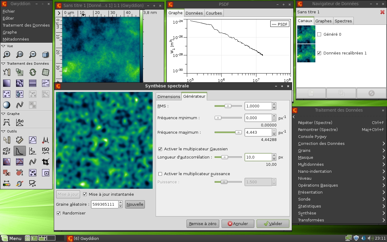
Gwyddion v.2.23
Gwyddion is a modular program for SPM (scanning probe microscopy) data visualization and analysis.
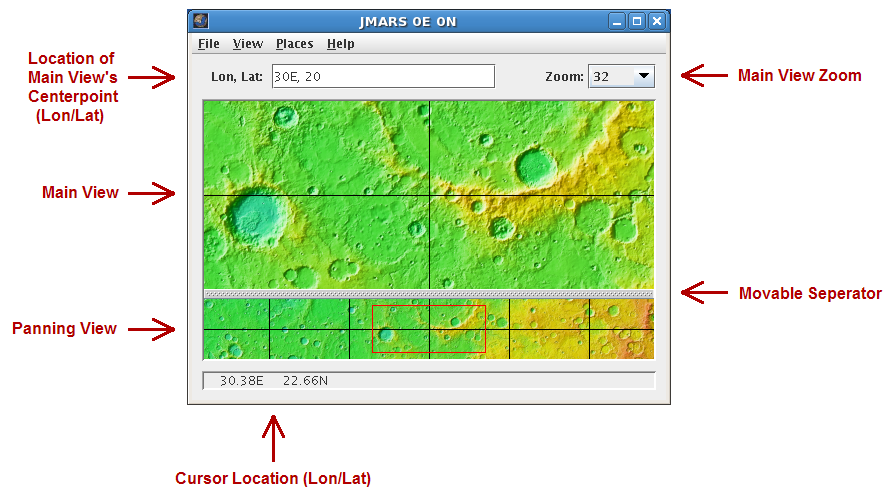
JMARS v.1.25
JMARS is an acronym that stands for Java Mission-planning and Analysis for Remote Sensing.
Pages : All